Top-Tier Expertise, Start to Finish
Six integrated service lines, one accountable partner. We match sensors, aircraft and analytics to your project — not the other way around.
Aerial Mapping, Modelling & Photogrammetry
From coastal development sites and quarries to roads and bridges along the Adriatic-Ionian corridor, TMDC reduces field survey time while maintaining survey-grade accuracy — down to centimeter-level vertical precision.
We deliver bare-earth models, digital elevation and surface models, orthomosaics and 3D models in formats compatible with leading CAD and GIS software used by Montenegrin engineering firms and municipalities.
Get a Quote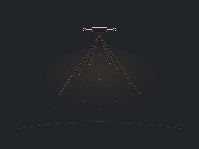
Aerial LiDAR & Remote Sensing
Montenegro's forested mountain interior makes canopy-penetrating LiDAR essential where photogrammetry alone falls short. We capture ground data through dense vegetation for topographic and bare-earth modelling.
A single scan yields power line sag and clearance data, vegetation encroachment risk near EPCG corridors, and precise geospatial accuracy even in Montenegro's most remote terrain.
Get a Quote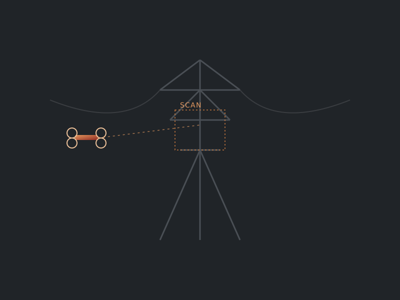
Infrastructure & Asset Inspection
We support utilities, telecoms, and asset owners with inspection of power lines, transmission towers, solar arrays, wind turbines, bridges and building envelopes — reducing the need to put personnel at height or in confined spaces.
The right payload matters as much as the aircraft: thermal/IR, multispectral, high-zoom RGB and LiDAR sensors are matched to each asset type and failure mode we're looking for.
Get a Quote
Aerial Imagery & Video Production
Tourism boards, coastal developers and municipalities use aerial content to tell Montenegro's story — from Kotor's fjord-like bay to Budva's coastline and the mountains of the north — from perspectives previously reserved for costly helicopter operations.
We pair aerial footage with ground photo/video and post-production for fully turnkey marketing and destination-promotion deliverables, including live-stream capability for events.
Get a Quote
Maritime, Underwater & Terrestrial Robotics
Montenegro's ports, marinas and coastline call for more than aerial coverage. Our ROV and ground-robot fleet inspects hulls, moorings, culverts, storage tanks and other hazardous or submerged assets — protecting workers while improving data quality.
Sensor payloads include SLAM LiDAR, thermal/infrared, high-resolution cameras and gas/emissions detection probes, suited to the Port of Bar, Kotor's Bay, and marina operators along the coast.
Get a Quote
Consultancy & Capacity Building
As more Montenegrin institutions, enterprises and government bodies look to build in-house drone and robotics capability, scaling those programs without dedicated subject-matter experts is a real challenge.
Our consultancy addresses the core issues we see time and again: regulatory navigation with the Civil Aviation Agency, equipment selection, pilot training, data governance and long-term program sustainability.
Get a QuoteNeed Something Else?
Our services cover a lot of ground, but we don't overpromise. If a request falls outside our capabilities, we'll tell you plainly and point you in the right direction.
Contact Us